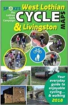
Spokes West Lothian Cycle Map - 4th Edition 2018
This is the 4th edition of the West Lothian cycle map by Spokes.
Whole area mapping at 1:30,000 and town maps at 1:10,000 including Livingston. The main map extends as far east as to Balerno and Edinburgh Gateway rail station.
A must-have if you're cycling in the area!
Features:
- Large scale 1:30,000 (2" to 1 mile)
- Emphasis on traffic-free cycle paths
- Highlights National Cycle Network routes
- Profits go to the Spokes Lothian Cycle Campaign.
This is the 4th edition of the West Lothian cycle map by Spokes.
Whole area mapping at 1:30,000 and town maps at 1:10,000 including Livingston. The main map extends as far east as to Balerno and Edinburgh Gateway rail station.
A must-have if you're cycling in the area!
Features:
- Large scale 1:30,000 (2" to 1 mile)
- Emphasis on traffic-free cycle paths
- Highlights National Cycle Network routes
- Profits go to the Spokes Lothian Cycle Campaign.
Original: $9.36
-65%$9.36
$3.28Description
This is the 4th edition of the West Lothian cycle map by Spokes.
Whole area mapping at 1:30,000 and town maps at 1:10,000 including Livingston. The main map extends as far east as to Balerno and Edinburgh Gateway rail station.
A must-have if you're cycling in the area!
Features:
- Large scale 1:30,000 (2" to 1 mile)
- Emphasis on traffic-free cycle paths
- Highlights National Cycle Network routes
- Profits go to the Spokes Lothian Cycle Campaign.